


-
About Union
Geographical & Economic
Miscellaneous
-
Union Parishad
Union Council
Activities of Union Council
-
Govt. Office
Agriculture
Land
Health Services
Social Service
-
Other Institutions
Educational Institutions
Religious Organizations
Organizations
-
Different Lists
List of Beneficiaries
Other listings
- Projects
- Services
- Gallery
-
SDG Related
SDG Affairs
-
About Union
Geographical & Economic
Miscellaneous
-
Union Parishad
Union Council
Activities of Union Council
-
Govt. Office
Agriculture
Land
Health Services
Social Service
-
Other Institutions
Educational Institutions
Religious Organizations
Organizations
-
Different Lists
List of Beneficiaries
Other listings
- Projects
- Services
-
Gallery
Photo Gallery
Video Gallery
-
SDG Related
SDG Affairs
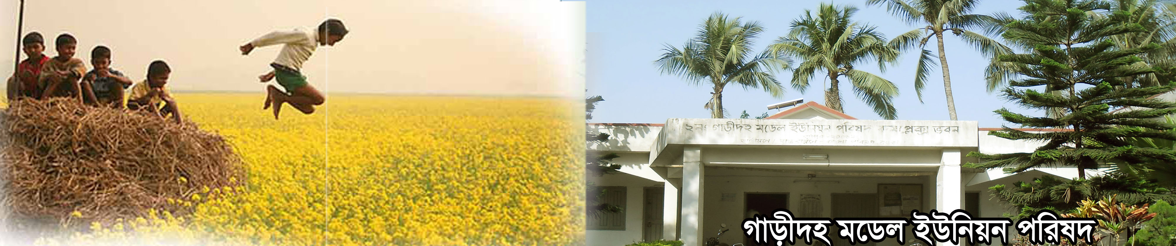
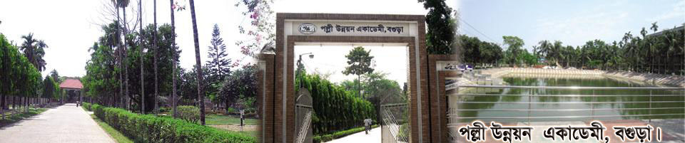
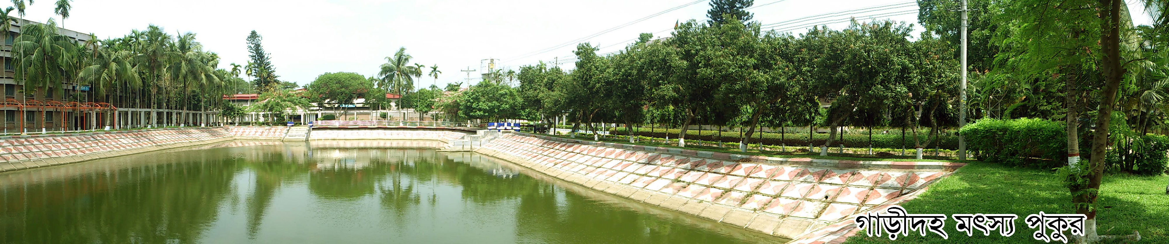
Name: 2 No. cardah Model Union Parishad, area: 24.89 (square km). Shajahanpur upazila on the south, Sherpur municipality on the east, Kushmandi Union Parishad on the east and Kusumbi Union Parishad on the west. Population: 48870 people (approx.) (According to the 2011 Adam Census) Number of villages: 33, number of mouzas: 25, hat / market number: 3, literacy rate - 50%. (According to the Education survey 2001) Government Primary School: 11, High School: 4, Madrasa: 8, Important Religious Places: 1, Number of Temples: 4, Historical / Tourist Places: Rural Development Academy, and Korotoa River. Chairperson: Mr. Md. Dabir Uddin, UP Building Establishment, Kal, 006
By means of communication: CNG, auto rickshaw, van, etc., located 4 km away from Sherpur Upazila Parishad can be used.


Planning and Implementation: Cabinet Division, A2I, BCC, DoICT and BASIS
Technical Assistance:
![]()
Developed By: